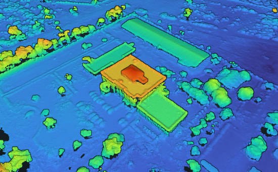
Point cloud
Dense point-cloud output can help communicate exterior geometry and visible site conditions.
Exterior model reference for roof review, façade planning, site context, point-cloud output, and measurement-support workflows.
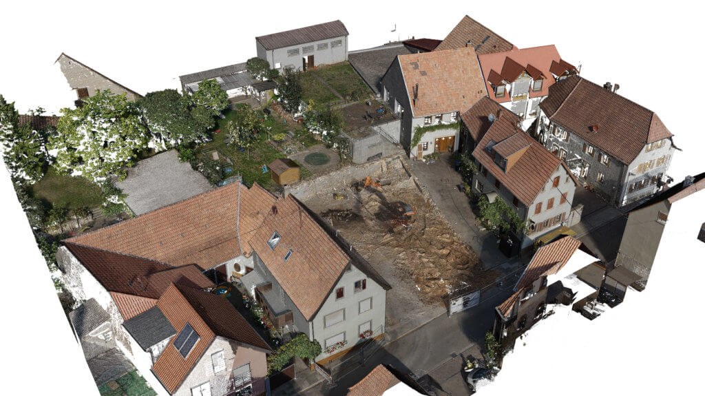
A 3D site model records the building exterior and nearby context in a format teams can inspect remotely. It helps architects, engineers, and contractors evaluate roof geometry, façade relationships, access routes, and site conditions before committing to design, estimating, or sequencing decisions.
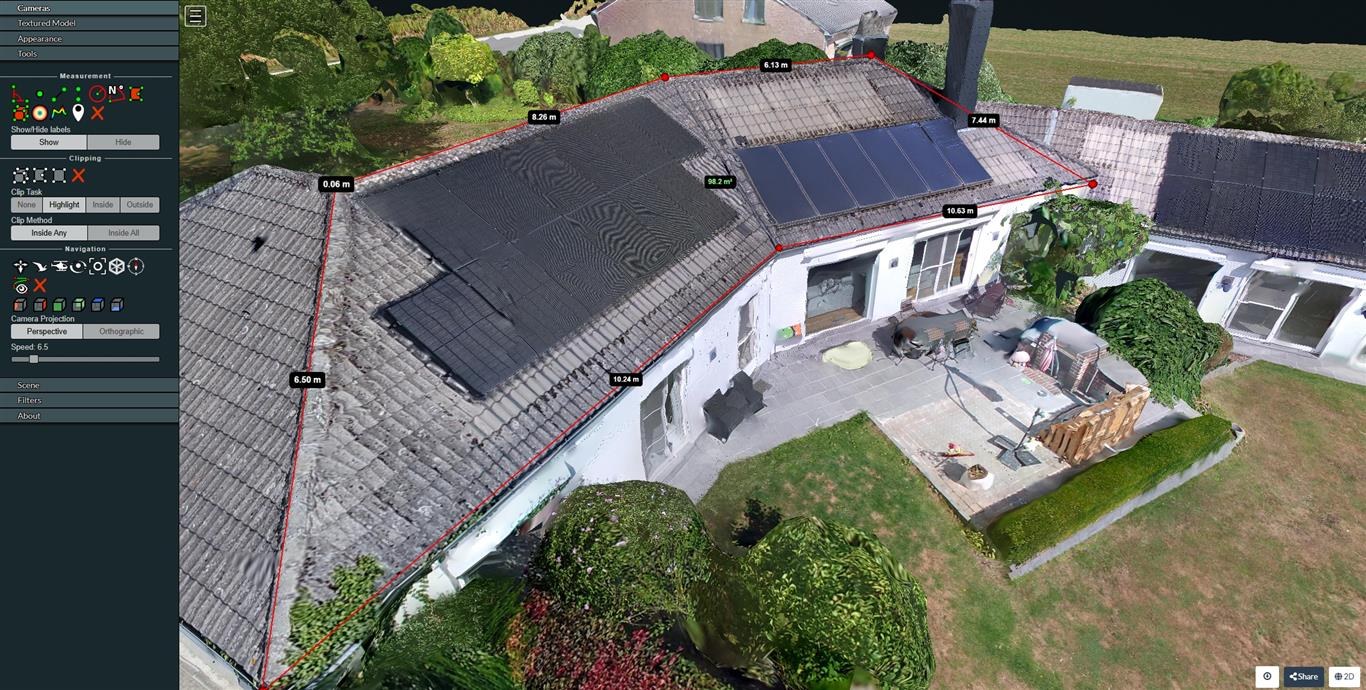
The model supports roof-edge checks, slope and length references, preliminary area takeoffs, and consultant discussions when site visits are limited. It is built to speed up technical planning and reduce uncertainty early in the project lifecycle.
Dense point-cloud output can help communicate exterior geometry and visible site conditions.
Top or angled views can be used for planning, markups, and coordination.
A textured model helps the team understand building form, surrounding surfaces, and access constraints.
Length, area, and roof reference measurements can be used as support information during early review.
Deliverables are commonly used for envelope review, maintenance planning, budgeting, and consultant communication. If approvals require legal boundaries, setbacks, easements, or certified elevations, those values must come from qualified survey documentation.